
Best Hikes in Yellowstone: Easy, Moderate and Strenuous
Hiking. In brief.
Yellowstone has more than 1,100 miles of trail, and day hiking on any of them requires no permit. Most visitors never leave the boardwalks, which means the trails are quiet even in July. The things that make hiking here different from hiking elsewhere are bears, thermal ground, altitude and weather that can change in an hour. Carry bear spray, hike with others, check the park's Backcountry Conditions page before you go, and stay on the trail in thermal areas. Below are the hikes we'd point someone to, sorted by effort, with distances and difficulty ratings from the Park Service's own trail pages.
This page is one part of our full Yellowstone guide [link to hub]. The hub covers the park season by season and area by area; this page covers the trails only, from a one-mile walk to a waterfall to a 10,500-foot summit. For overnight trips, see the backpacking section of the hub. For what to do if you meet a bear, see our bear and wildlife safety page [link to spoke 5].
The Park Service describes the park as "one of America's premier wilderness areas" and notes that it is "primarily managed as wilderness." That's worth taking literally. A trail that leaves a parking lot full of cars can be empty half a mile in, and once it is, you're on your own in the way you'd be on your own in any wilderness.
Before you go
Check conditions. The park's Backcountry Conditions page, online and at visitor centers, lists current trail conditions, closures, high water, downed trees and recent bear activity. It's the single most useful page for a hiker. [Link to NPS Backcountry Conditions.]
Know about bear management areas. Parts of the park close to hikers in certain seasons so that bears can feed undisturbed. Some well-known trails are affected: Riddle Lake stays closed until mid July, Pelican Valley opens July 4 and then only for day use between 9 a.m. and 7 p.m., Heart Lake is closed from April 1 through June 30, and several trails around Fishing Bridge and Lake Village close in late spring and early summer. These aren't suggestions; they're closures. The park's backcountry trails and campsites map shows the full set. [Link to NPS Bear Management Areas.]
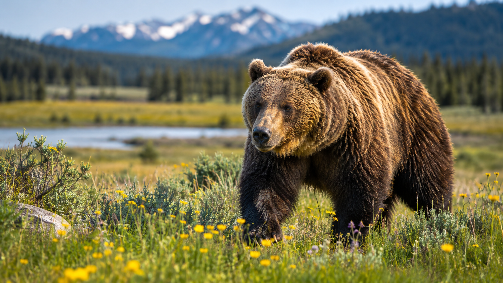
Hike in a group and make noise. The park's own numbers on this are blunt: since 1970, 91 percent of the people injured by bears in Yellowstone were hiking alone or with one other person, and only 9 percent were in groups of three or more. The park's advice is to hike in groups of three or more, stay on trails, make noise where visibility is limited, watch for fresh tracks and scat, and never run from a bear.
Carry bear spray and know how to use it. The park states that bear spray is more than 90 percent effective at stopping an aggressive bear, and since 2016 it has run a campaign, "A Bear Doesn't Care," to get more people to carry it, after park researchers found that only about 28 percent of backcountry visitors did. Carry it in a holster on your hip or chest where you can reach it quickly, not in your pack. You spray it at a charging bear, not on yourself or your gear; it does nothing as a repellent. [CMO link: bear spray]
Respect thermal ground. The park's day-hike handouts put it this way: "The thin ground in these areas breaks easily, and often overlies scalding water. Stay on the trail." People have died stepping off boardwalks and trails. In some basins, gases can collect; if you feel sick or dizzy in a thermal area, leave it.
Mind the altitude and the weather. Most trails start above 7,000 feet and many top 9,000 or 10,000. If you've flown in from sea level, take the first day easy and drink more water than you think you need. Afternoon thunderstorms are routine in summer and exposed summits like Washburn and Avalanche Peak are not places to be when one arrives; start early. Snow stays on high passes into late July and can return in September.
Plan for river crossings. Several backcountry routes ford rivers that run high, fast and cold through June and into July. The park notes that some crossings can be 25 feet wide and three to five feet deep in runoff. If you're planning anything with a ford before mid July, ask at a backcountry office first.
Leave the dog at home. Pets are not allowed on any trail, boardwalk or backcountry area in Yellowstone, or in thermal areas. They can be in developed areas, within 100 feet of roads, parking areas and campgrounds, on a leash no longer than six feet. This surprises a lot of people from Bozeman.
Easy hikes: under three miles, little climbing
These are walks almost anyone can do, with real scenery at the end. Each entry gives the Park Service's own distance, climb, trailhead, rating and closure notes where the park publishes them.
Trout Lake, Lamar country. The quickest way to stand beside a quiet mountain lake in the busiest wildlife corner of the park. The climb is over in the first few minutes, and the path circles the water once you're up. The park asks hikers here to be aware of bear activity. Distance: 1.2 miles, lollipop loop. Climb: about 150 feet, through Douglas-fir. Trailhead: a small pullout on the Northeast Entrance Road, a mile and a half south of Pebble Creek Campground toward Tower.
Wraith Falls, Mammoth area. A good first walk for children: level nearly the whole way, with a 79-foot cascade on Lupine Creek at the end. Only the final stretch asks anything of you, and it is short, rocky and stepped. Distance: 1 mile round trip. Trailhead: a half mile east of the Lava Creek Picnic Area on the road to Tower. NPS rating: easy.
Storm Point, Yellowstone Lake. Meadow, then forest, then a rocky point on the shore with the whole length of the lake in front of you and a large colony of yellow-bellied marmots living in the boulders. Distance: 2.3 miles, loop. Climb: none to speak of; flat and easy. Trailhead: the Indian Pond pullout, three miles east of the Fishing Bridge Visitor Center. Closures: most years the park closes it from late spring into early summer while bears are active nearby.
Harlequin Lake, Madison area. A gentle uphill stroll to a small lake with lily pads, the kind of walk that fits between two drives. Distance: about 1 mile round trip. Trailhead: the third pullout, a mile and a half west of Madison Junction.
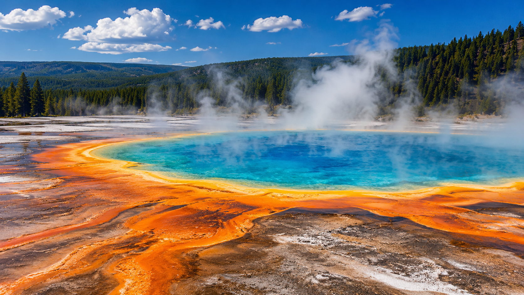
Grand Prismatic Overlook, Midway Geyser Basin. The only way to see the spring's colors the way the photographs show them is from above, and this short climb ends at a platform built for exactly that. Go early; the lot fills by mid morning in summer. Distance: 1.2 miles round trip. Climb: about 105 feet. Trailhead: the Fairy Falls parking lot, a mile south of Midway Geyser Basin, where the park says parking is very limited.
Brink of the Lower Falls, Canyon. Short but not level. A paved switchback drops to a railing at the very lip of the falls, where the river passes at anywhere from 5,000 gallons a second in autumn to 63,500 at the peak of spring runoff. The climb back out is the work, and the park does not recommend it for people with heart or lung conditions. Distance: 0.7 miles round trip. Climb: 600 feet down and back up. Trailhead: the North Rim.
Lost Lake loop, Tower. A small lake, the Petrified Tree, and a fair chance of a black bear, in a loop that starts right behind Roosevelt Lodge. Distance: 2.8 miles, loop. Climb: about 300 feet. Trailhead: behind Roosevelt Lodge.
Duck Lake and the Yellowstone Lake Overlook, West Thumb. Two walks from one parking lot. Duck Lake is the shorter and flatter, a walk to a small lake from the west side of the lot. The Overlook climbs through forest to a high meadow with the West Thumb below and the Absarokas in the distance; the park notes thermal activity along the trail, so stay on it. Distance: Duck Lake 0.8 miles; Overlook 1.7 miles, loop. Trailhead: the West Thumb Geyser Basin parking area, west side for Duck Lake, southeast corner for the Overlook. NPS rating: Overlook moderate.
Mystic Falls belongs here too, a 2.4-mile round trip to a 70-foot falls on the Little Firehole River, rated moderately strenuous for its short climb. But it is normally reached from the back of the Biscuit Basin boardwalk two miles north of Old Faithful, and Biscuit Basin has been closed since a hydrothermal explosion there in July 2024, with a second in June 2026. Check the park's current conditions before counting on it.
Moderate hikes: three to six miles, some climbing
Lone Star Geyser, south of Old Faithful. The easiest walk on this list in everything but distance: an old service road, partly paved, that keeps the Firehole River beside you the whole way to a 12-foot cone geyser that throws water as high as 45 feet roughly once every three hours. Few people make the walk, which is the point. Distance: 4.8 miles round trip. Climb: flat. Trailhead: 3.5 miles south of the Old Faithful overpass, just past the Kepler Cascades lot.
Fairy Falls, Midway Geyser Basin. A long, flat walk through young lodgepole to a 200-foot waterfall, sharing a parking lot with the Grand Prismatic Overlook, so the two combine naturally. Distance: 5.4 miles round trip; the side trip to Imperial Geyser adds 1.2 miles. Climb: flat. Trailhead: the Fairy Falls parking lot.
Beaver Ponds Loop, Mammoth. Sagebrush meadows and stands of trees, a string of beaver ponds about halfway around, elk in spring, and a real chance of bears; the park notes that both grizzly and black bears frequent the area. Distance: 5 miles, loop. Climb: at least 350 feet. Trailhead: just north of Liberty Cap. NPS rating: moderately strenuous, two to five hours.
Elephant Back Mountain, Lake. A steady climb through dense lodgepole that pays off at an overlook above Lake Village and the whole lake. Distance: 3.5 miles round trip. Climb: 800 feet. Trailhead: a pullout a mile south of Fishing Bridge Junction.
Slough Creek to the first meadow, Lamar country. A historic wagon trail that climbs steeply at the start, then drops you into open meadow country where the park says to be alert for bears and moose. Distance: 3.4 miles round trip. Climb: a steep start. Trailhead: the campground road.
Riddle Lake, Grant Village. An easy walk through forest and meadow to a backcountry lake, with a late opening that keeps it quiet. Distance: 4.8 miles round trip. Trailhead: about three miles south of the Grant Village intersection, just past the Continental Divide sign. NPS rating: easy. Closures: a bear management closure keeps it shut until mid July (July 15 most years), and the park holds it closed longer when trumpeter swans are nesting on the lake.
Cascade Lake, Canyon. Meadows to a small lake, on a trail the park rates easy but warns can be wet and snowy through July. Distance: 4.4 miles round trip. Trailhead: 1.25 miles north of Canyon Junction. NPS rating: easy.
DeLacy Creek to Shoshone Lake, West Thumb area. The easy way to reach the shore of the park's largest backcountry lake, on a gentle trail most people never think to look for. Distance: 5.8 miles round trip. Trailhead: the DeLacy Creek parking area, 8.8 miles west of West Thumb Junction. NPS rating: easy.
Pelican Valley, east of Fishing Bridge. One of the park's great open valleys, and prime grizzly country, which is why the park hedges it with rules: groups of four or more recommended. Distance: 6.2 miles round trip. NPS rating: moderate. Closures: closed until July 4, then open for day use only between 9 a.m. and 7 p.m.
The first few miles of the Lamar River Trail. Mostly level, and the Lamar Valley on foot: open country with bison, elk and the real possibility of bears and wolves.
Strenuous hikes: real climbing, a full day, fit and prepared
Mount Washburn, Canyon area. The summit lookout at 10,219 feet, wildflowers on the way up, bighorn sheep often on the ridge, and views the park has described as reaching 20 to 50 miles in every direction. Two routes, both on an old road grade; the Chittenden Road side is wider with a steadier grade. Distance: about 6 miles round trip from Dunraven Pass, about 5.8 from the Chittenden Road parking area. Climb: around 1,400 feet. NPS rating: strenuous (Dunraven Pass route). Closures and cautions: the park recommends against it in September and October, when grizzlies feed on whitebark pine nuts on the mountain, and notes that mountain passes in the park can stay snow-covered until late July.
Avalanche Peak, East Entrance road. Short, steep and high: straight up to a summit above the lake with the Absarokas beyond. A July and August hike for fit, prepared people with a weather window. Distance: 4.2 miles round trip. Climb: 2,100 feet to a 10,566-foot summit. Trailhead: across the road from the Eleanor Lake pullout, 19 miles east of Fishing Bridge Junction. NPS rating: strenuous, high elevation. Closures and cautions: often snow-covered until early July; the park says hiking it is not recommended in September and October because grizzlies feed on whitebark pine nuts there.
Bunsen Peak, Mammoth area. A shorter summit with a big payoff: the Blacktail Deer Plateau, Swan Lake Flat, the Gallatin Range and the Yellowstone River valley all in view from the top. Distance: 4.6 miles round trip. Climb: about 1,300 feet. Trailhead: a gravel lot just south of Golden Gate, five miles south of Mammoth.
Specimen Ridge day hike, east of Tower. Short in miles, not in effort: a steep pull to a ridge above the Slough Creek valley with the Absaroka Range beyond. It is not part of the much longer Specimen Ridge Trail, which is a serious outing. Distance: 3 miles round trip. Trailhead: a striped pullout about 4.5 miles east of Tower Junction. NPS rating: strenuous.
Purple Mountain, Madison area. A sustained climb to an overlook of the Gibbon and Madison valleys, with the steam of the geyser basins rising to the south. Distance: 3 miles. Climb: about 1,500 feet. Trailhead: a turnout a quarter mile north of Madison Junction. NPS rating: strenuous.
Sepulcher Mountain, Mammoth. The big one in the north end of the park, a full day's loop from the terraces. Distance: 11 miles, loop. Climb: about 3,400 feet; six to eight hours of effort. Trailhead: the Mammoth terraces.
Electric Peak, at 10,968 feet the highest of the Gallatin Range peaks the park lists, is usually done as an overnight from the Glen Creek trailhead rather than a day hike. Overnight trips need a backcountry permit for a designated campsite; how that system works, and four popular routes, are in the backpacking section of the hub [link to hub, backpacking].
Hiking with kids and first-timers
The boardwalks are hikes too, and for young children the Fountain Paint Pot loop, the Mammoth Lower Terraces and the West Thumb basin are better outings than any trail. For a first real trail, Trout Lake, Wraith Falls, Storm Point and Harlequin Lake are all short, rewarding and hard to get lost on. Keep kids close in bear country and within arm's reach on boardwalks and at canyon overlooks, where the railings are not designed with small children in mind. The Junior Ranger program at visitor centers gives kids a reason to pay attention on the walk. [Link to NPS Junior Ranger page.
What to carry on a day hike
The Park Service's backcountry advice fits in one sentence: "Carry bear spray, store food properly, check weather, and be prepared for changing conditions." For a day hike, that means a daypack with water (two liters per person is a reasonable minimum in summer; there's no treated water on trails), food, a rain shell, a warm layer even in July, sun protection, a map (cell coverage is unreliable almost everywhere off the roads, so download or carry paper), a headlamp, a small first-aid kit, and bear spray within reach. Trekking poles help on the steep descents at Canyon and on river crossings. Shoes or boots with real tread matter more than most people expect; the trails are rocky, muddy in June, and the boardwalks are slick when wet. [CMO link: day pack; CMO link: trail shoes or hiking boots; CMO link: trekking poles; CMO link: water treatment]
boardwalks, stay on the trail.
How high is Yellowstone, and will the altitude affect me? Most of the park is above 7,500 feet and the high trails top 10,000. Visitors from low elevations commonly feel short of breath, tired or headachy the first day or two. Take it easy at first, drink more water than usual, and don't plan a summit for your first morning.
Questions people ask us about hiking
Do I need a permit to hike in Yellowstone? No permit is required for day hiking anywhere in the park. Overnight trips in the backcountry require a permit for a designated campsite. See the backpacking section of the hub [link].
What are the easiest hikes in Yellowstone? Trout Lake (1.2 miles), Wraith Falls (1 mile), Storm Point (2.3 miles, flat), Harlequin Lake (about a mile), and the Grand Prismatic Overlook (1.2 miles). The boardwalk loops at Fountain Paint Pot, West Thumb and Mammoth count too.
What are the best day hikes in Yellowstone? Depends what you want. For a summit, Mount Washburn or Avalanche Peak. For a waterfall, Fairy Falls or the Brink of the Lower Falls. For wildlife and open country, Slough Creek or the Lamar River trail. For geysers without crowds, Lone Star Geyser. The lists above sort them by difficulty.
Can I hike alone in Yellowstone? You can, but the park advises against it in bear country, and its numbers are blunt: of the people hurt by bears in the park since 1970, nine in ten had no more than one companion. If you do go alone, stay on trails, make noise, carry bear spray in your hand in thick cover, and tell someone your plan.
How do I check if a trail is open? The park's Backcountry Conditions page maps area closures, bear management restrictions and known hazards such as high water, and is updated through the season. Visitor centers and ranger stations have the same information. [Link.]
Are there hikes to see Grand Prismatic from above? Yes. The Grand Prismatic Overlook trail starts at the Fairy Falls lot a mile south of Midway Geyser Basin and climbs about 105 feet to a platform above the spring; it's 1.2 miles round trip. Parking is very limited and the lot fills early in summer.
What should I carry on a day hike? Water (two liters per person), food, a rain shell, a warm layer, sun protection, a map, a headlamp, a small first-aid kit, and bear spray where you can reach it. Shoes with real tread. Trekking poles help on steep ground and stream crossings. [CMO link: day hiking essentials]
Can I hike in the thermal areas? Only on boardwalks and marked trails. Leaving them is illegal and dangerous; the ground is a thin crust over scalding water. In backcountry thermal areas without boardwalks, stay on the trail.
How high is Yellowstone, and will the altitude affect me? Most of the park is above 7,500 feet and the high trails top 10,000. Visitors from low elevations commonly feel short of breath, tired or headachy the first day or two. Take it easy at first, drink more water than usual, and don't plan a summit for your first morning.
The Entrances.
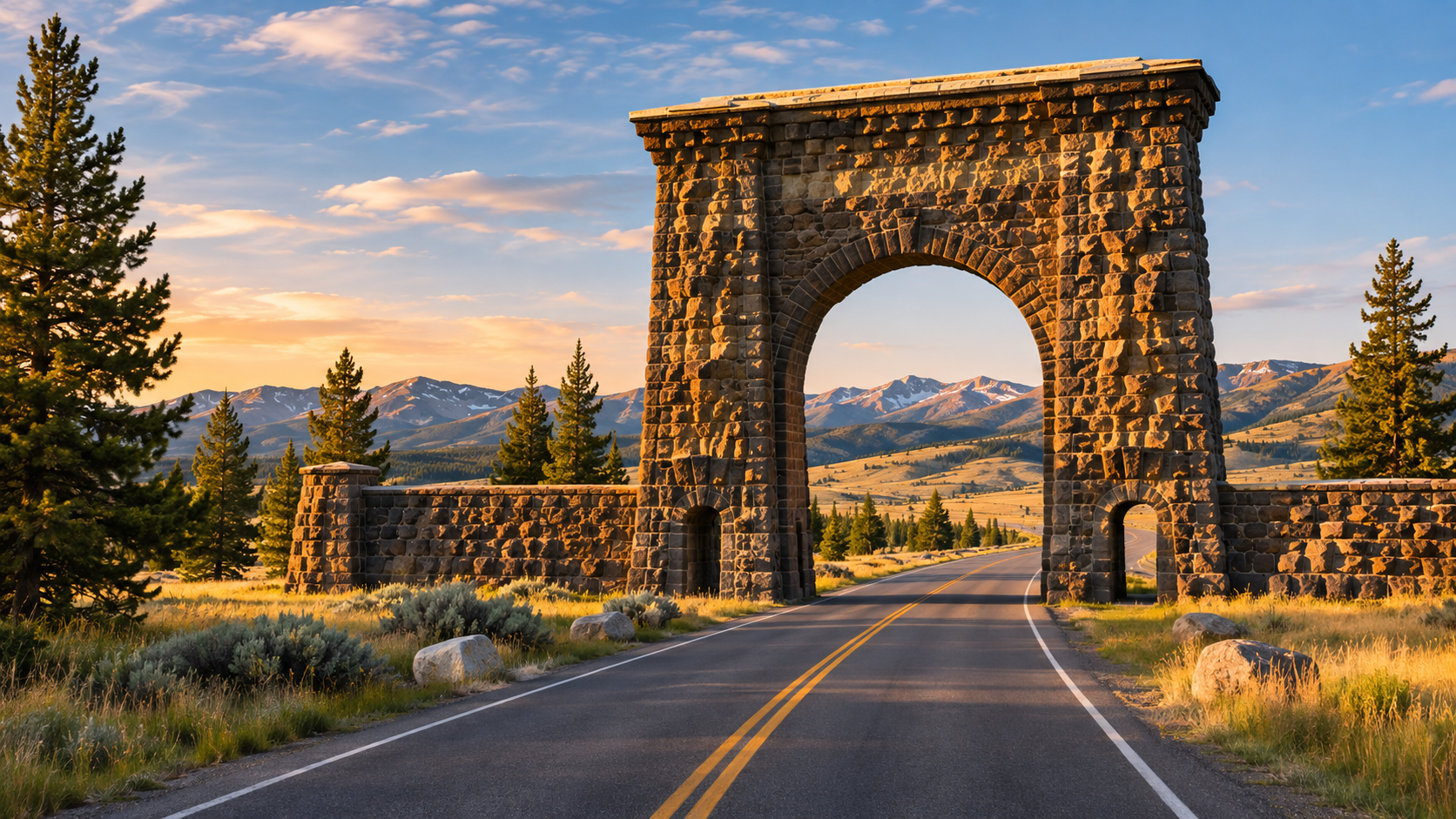
Make the most of a day in the park from any entrance.
GRAND LOOP ROAD.
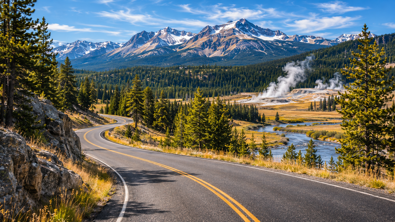
A section-by-section guide to the park's iconic drive.
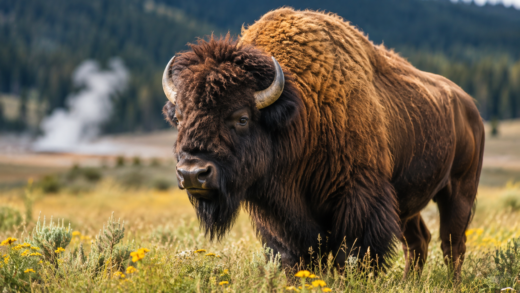
Where to see wildlife.
The best areas and times to spot Yellowstone's animals.
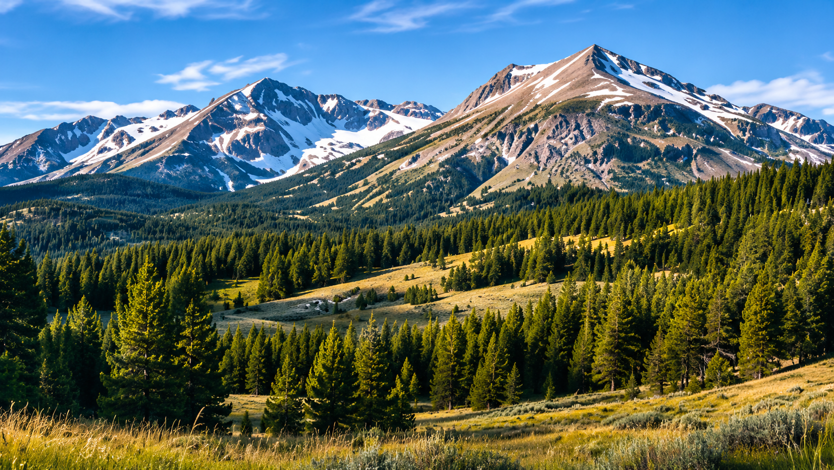
BOZEMAN to
yellowstone.
The best route, drive time, and tips for a smooth trip.
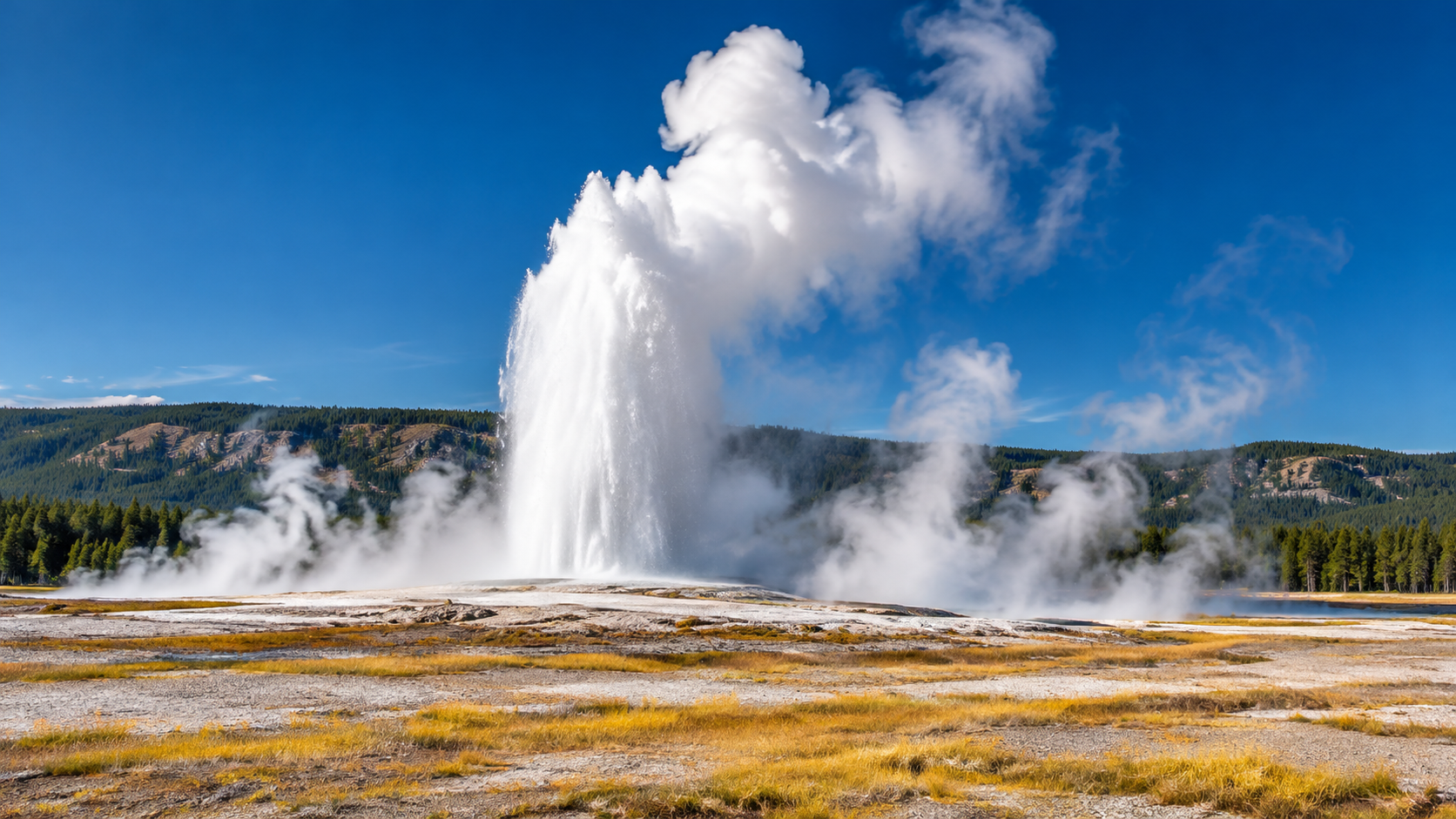
FAQs.
Answers to common Yellowstone questions.
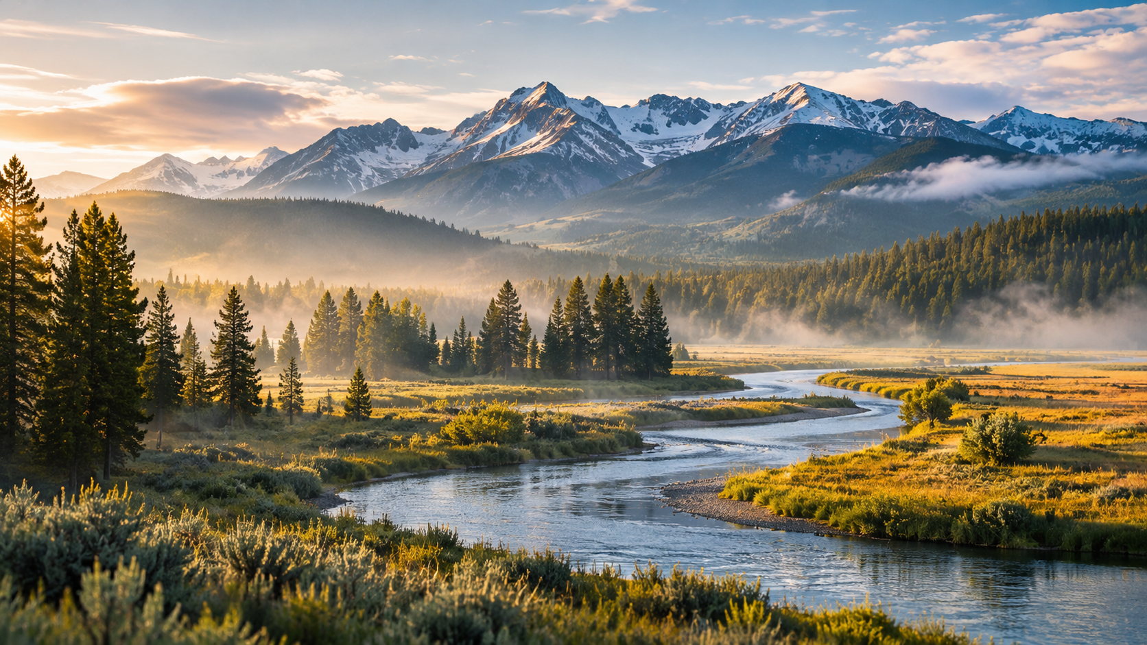
Best TIME TO VISIT.
Weather, crowds, and seasonal highlights.
Bear & wildlife safety.
Stay safe, respect wildlife, and be a responsible visitor.
The volcano, explained.
The science behind Yellowstone's supervolcano.